
Specifications
| Mapping | 3D maps from onboard LiDAR or a handheld scanner |
| Sites | Indoor, outdoor, multi-floor and low-feature utility tunnels |
| RTK | RTK-fused mapping with the separately sold RTK integration module |
| Localisation | LiDAR, IMU, odometry and optional RTK fusion, centimetre-level |
| Routes | Visual waypoint and path editing, branched or mesh networks, merged large-site topologies |
| Navigation | One-click goal, optimal route planning, dynamic obstacle avoidance and rerouting |
| Tasks | Timed, recurring or triggered inspection tasks with waypoint pauses |
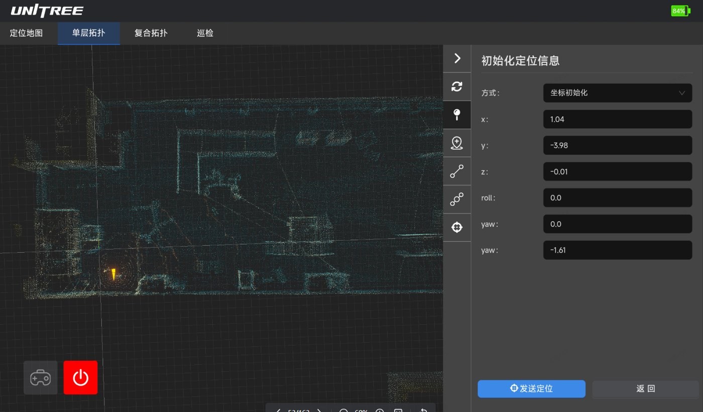
| Dashboard | Web dashboard for mapping, localisation, routes, tasks and robot status |
| Integration | HTTP and WebSocket, live status and fault alerts |
| Fits | A2 and A2-W |